From Ronda to Algeciras: a BTT Journey Through the Natural Parks of Cádiz
Southern Spain is a land that deserves to be discovered by bike and without a clock. If you are a fan of handlebars and nature, then prepare a light baggage to tour some of the most spectacular and least known landscapes of Andalusia.
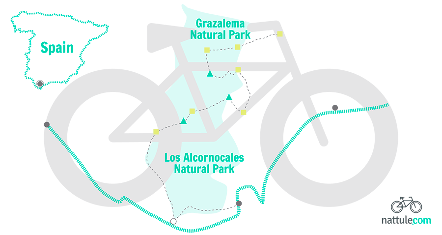
The mountain bike trails are scary for those who do not get along with overexertion. However, this is not the case in the trails that Nattule invites you to do, tours that are suitable for anyone with an adventurous spirit. If you’re one of them, you are able to travel a route that connects the Natural Park of Sierra de Grazalema with the Natural Park of Los Alcornocales, two unique landscapes located between Cádiz, Málaga and the Strait of Gibraltar.
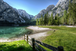
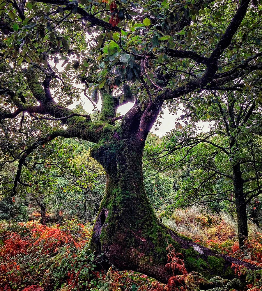
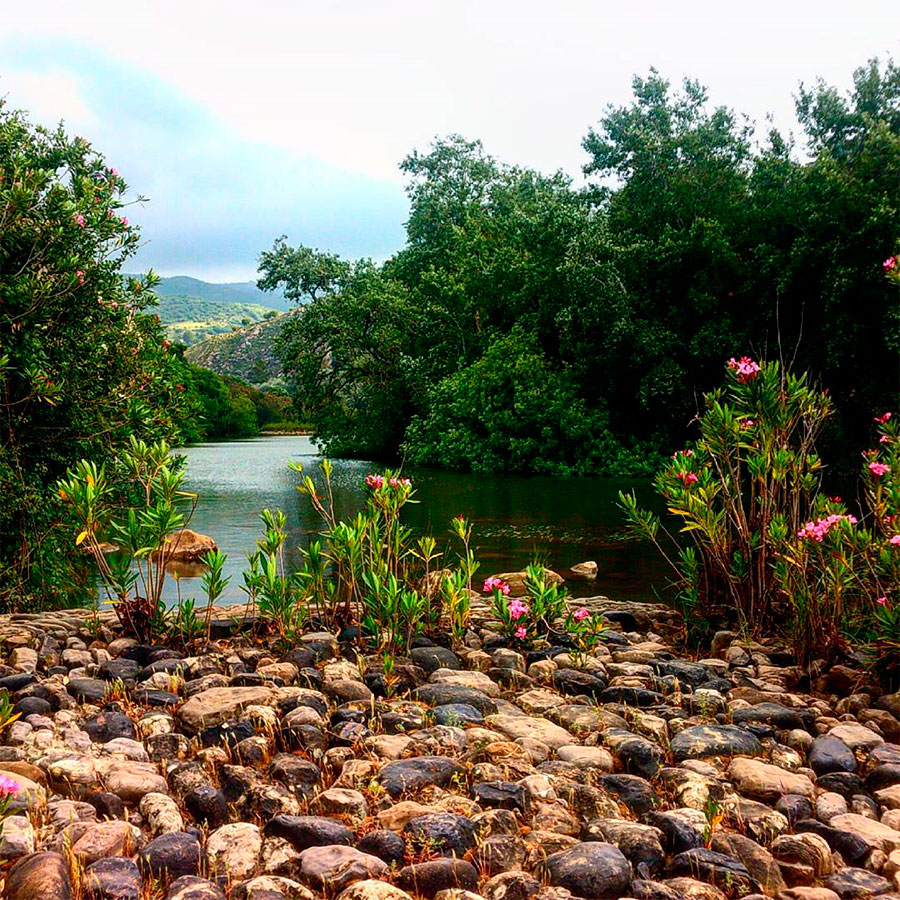 Hozgarganta River going through the jungles of Cádiz © Jimenato 06
To link the Ruta del Toro with the Ruta de los Pueblos Blancos in stages on the countryside is a great travel option. Especially in autumn, given the mildness of the temperature. If it rains, then each stage is a joy.
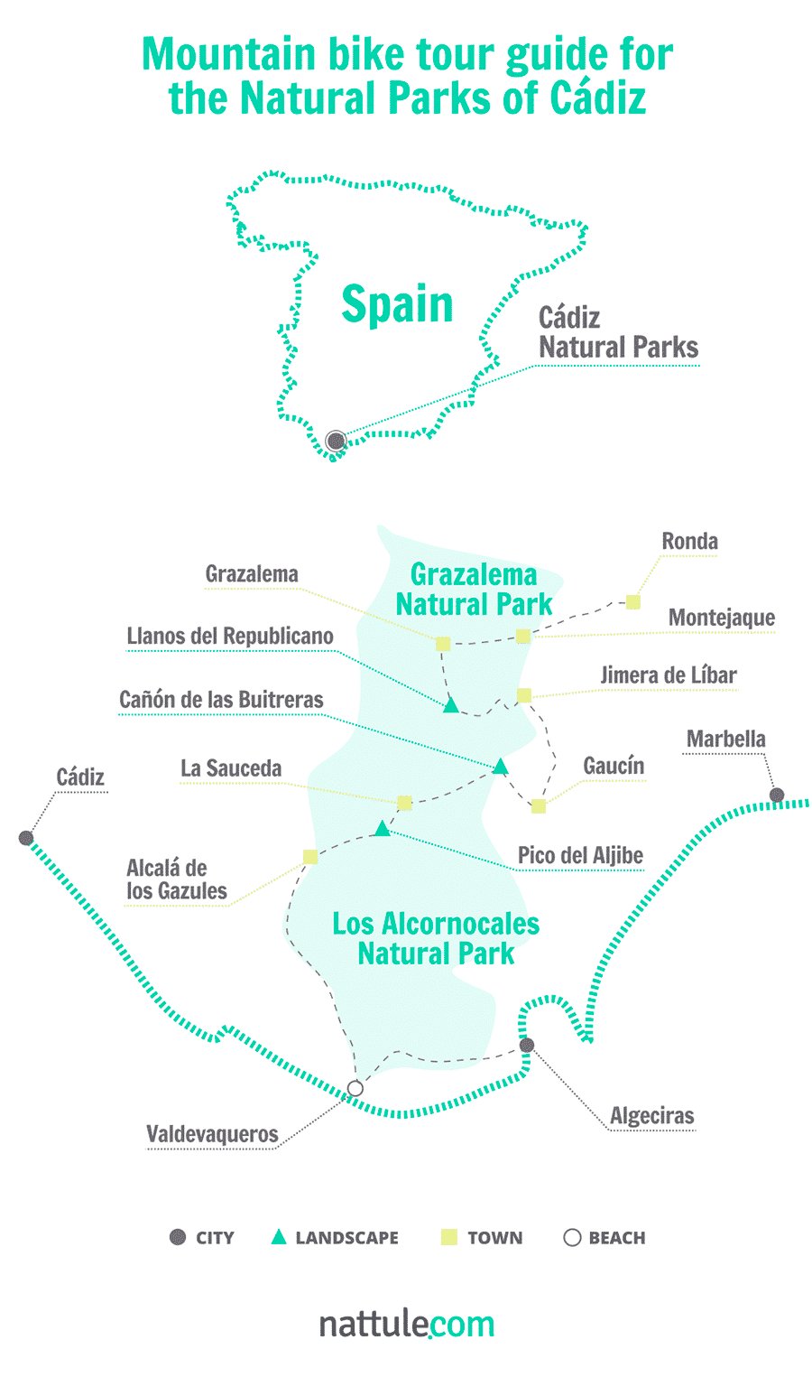
To explore this unique Mediterranean oasis, Nattule offers you a spectacular mountain bike trip for 7 stages:
1. From Ronda to Grazalema, The Serranía Gates
What better place to start this tour than Ronda, one of the entrances to these mountains. The hidden corners of this village in the province of Málaga, its history and location make it one of the most beautiful villages in all of Andalusia. You can start the day at midmorning, since the first contact with the bike is quite doable and you do not have to pedal hard to get to Grazalema, which is only about 28 kilometers from you.
Once you have spare forces with a mountain breakfast and have checked your equipment, prepare water and a snack for the road.
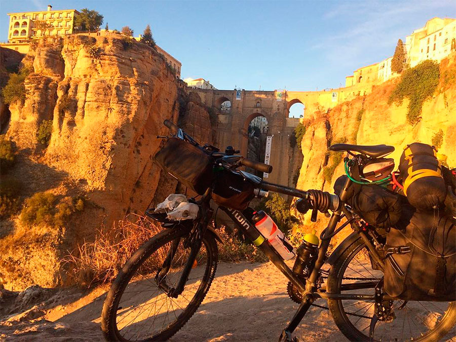 Ronda, the starting point of this route © Luís Pinto
From the train station, go to the road connected to Montejaque, the A-374. You will find the GR7-Camino Viejo de Ronda and you’ll be riding in the Natural Park of Grazalema. The limestone moles of Sierra de Mures will be your companions much of the way and once you are completely surrounded by them, you will be going down to Montejaque. After leaving the chapel of La Escarihuela, and after a dizzy stretch of curves, you will reach the village of Montejaque. It is possible that you’ll find this stretch down to the village in poor condition so prepare the brakes, take it easy and enjoy the descent.
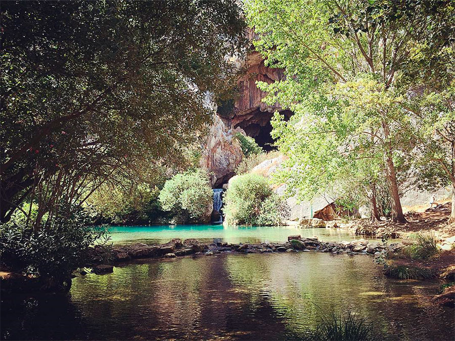
When you reach the spot where Montejaque is located, you will understand why it is known as the Hidden Village: a small village protected by large boulders of rock. You should not miss the cave system of Hundidero and del Gato, listed as a Natural Monument, which is less than 4 kilometers from the villa, near the village of Benaoján.
 Del Gato Cave © iRobson
From Montejaque, continue along the GR7, cross the MA-8403 road and take the left turn. This part of the road runs along the track of Campobuche. Something interesting about this place is the attempt to build Montejaque Dam, which in the 20s became the largest dome wall in Europe.
The course of the Campobuche River narrows as you approach Grazalema and cleared shores give way to thickets of oaks and riverside bushes.
 Grazalema, a beautiful village of these mountains © Carlos Javier García
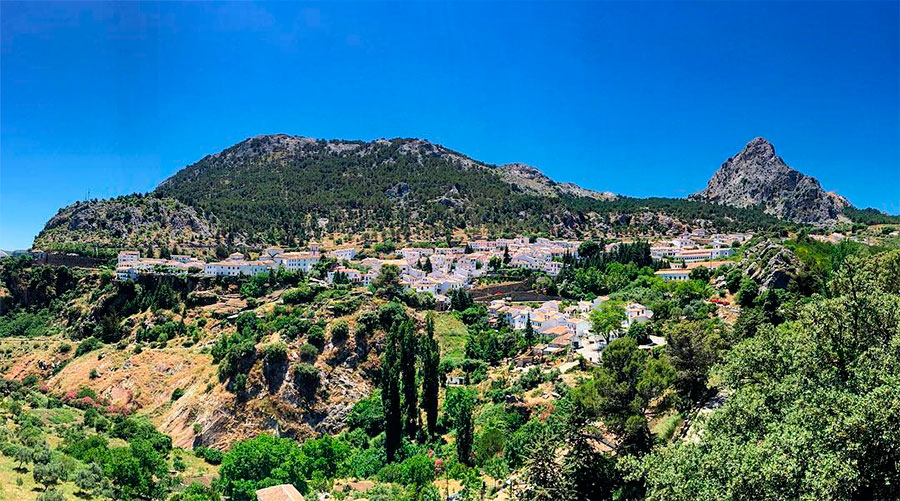
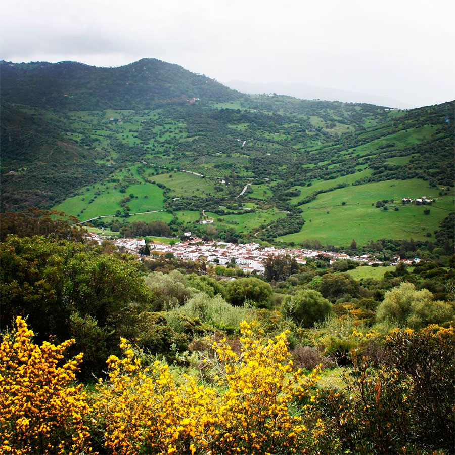
The village of Grazalema is another town steeped in history of these mountains and is a perfect place to spend the night.
2. From Grazalema to Jimera de Líbar, a Geological Delight
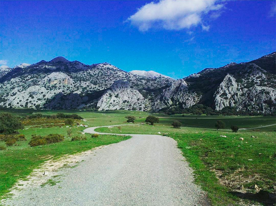
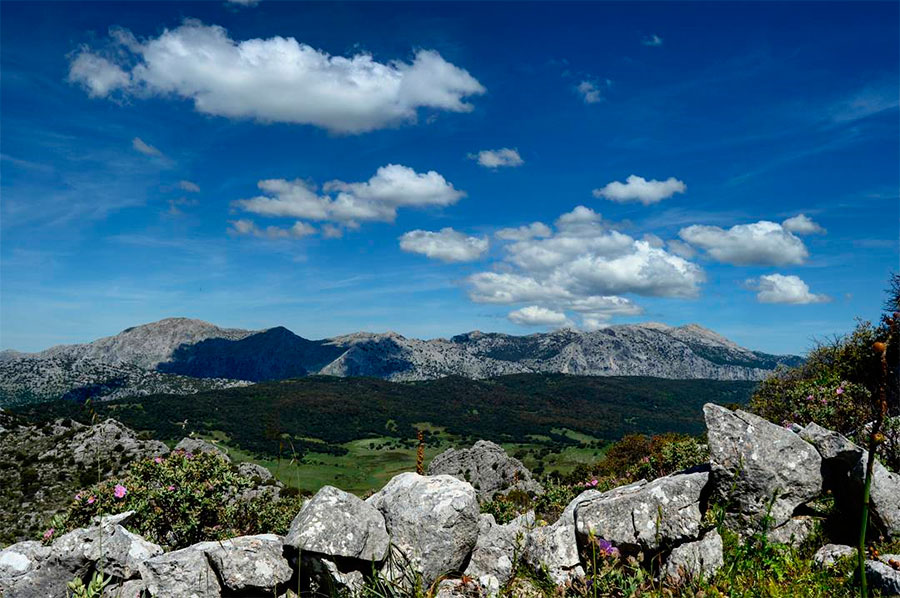
During this stage you will be able to enjoy one of the most famous spots in the Sierra de Grazalema. You must go to the A-372. A few meters away, there’s a detour to the right that takes you to Las Diez Pilas track.
You will arrive at the foot of the Lajares rocks where you will see an ancient crossroad along the Stream Los Álamos. You are in an area known as the Llanos del Republicano: plains that are a geological whim. To the right is the Sierra de Peralto, with cork oaks and almost impenetrable heaths, and to your left, the whimsical geological formations of the Sierra de Líbar and Mojón Alto. This place hides a treasure of underground galleries and chasms like the one called Republicano and the one called Cabo de Ronda, an ideal space for cave enthusiasts.
 Llanos del Republicano Plateau © Patricia
From here you can link to the track of Bueyes de Ronda that will take you to the crossroads with the Plaza de Toros track. Here you have two options: you can go to Villaluenga and Ubrique and finish your phase there, or take the road to the Correo and Llanos de Líbar Pass. It is an area included in the network of European Long Distance Trails GR7-E4 linking Tarifa and Athens. On the abrupt rise, you must descend from the bike and carry it until reaching the pass. It’ll be worth the effort.
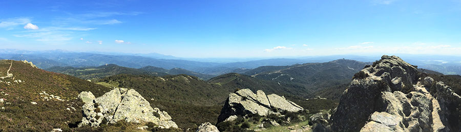
 Views from the summit of Correo Pass © Javier Barba
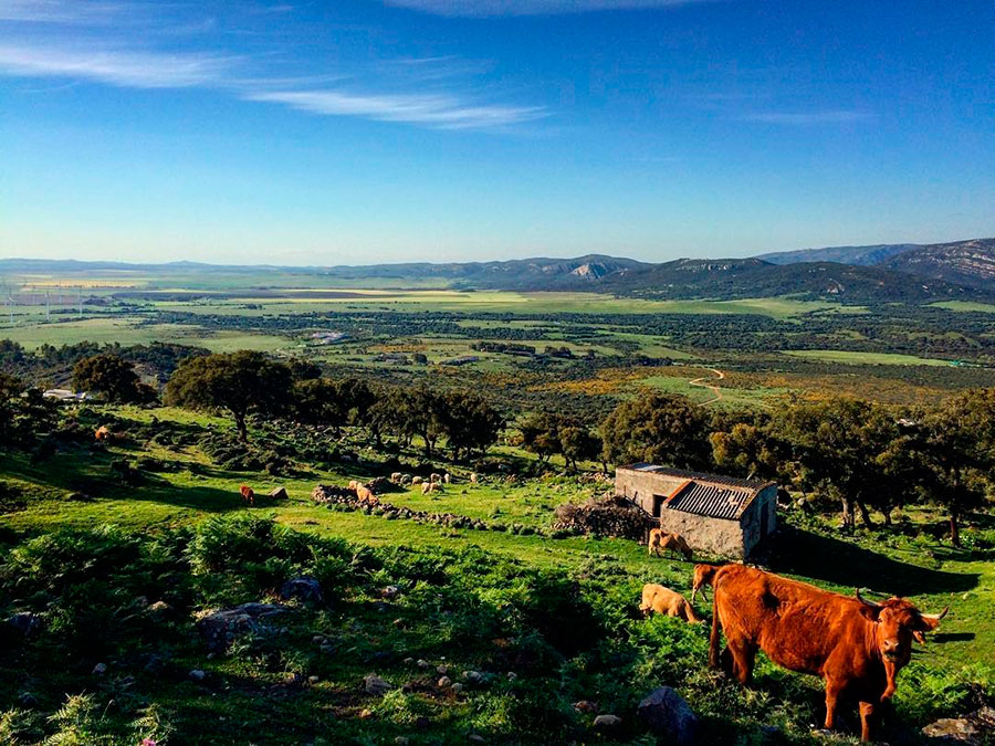
The route runs through several farms where cattle graze freely. There is no danger. Open and close the fences, and go. This mountainous area is famous for housing goats of an endemic race from these mountains whose milk is used to make one of the best organic cheese in all of the Iberian Peninsula.
From here you are just a few kilometers away from Cortes or Jimera. You only have to descend and get to the MA-841 road. There are charming villages where time seems like it’s not running. Accordingly, the tourist who visits those places is looking for tranquility and nature.
3. From Jimera de Líbar to Gaucín: Africa in Sight
In Jimera, you must depart from the village in the northern part and search for the railway. The route in this part of the road is hard, but not as hard as the next section, which is just right there when you leave the village of Cañada del Real Tesoro.
 Vicinity of Sierra de Líbar © Chito
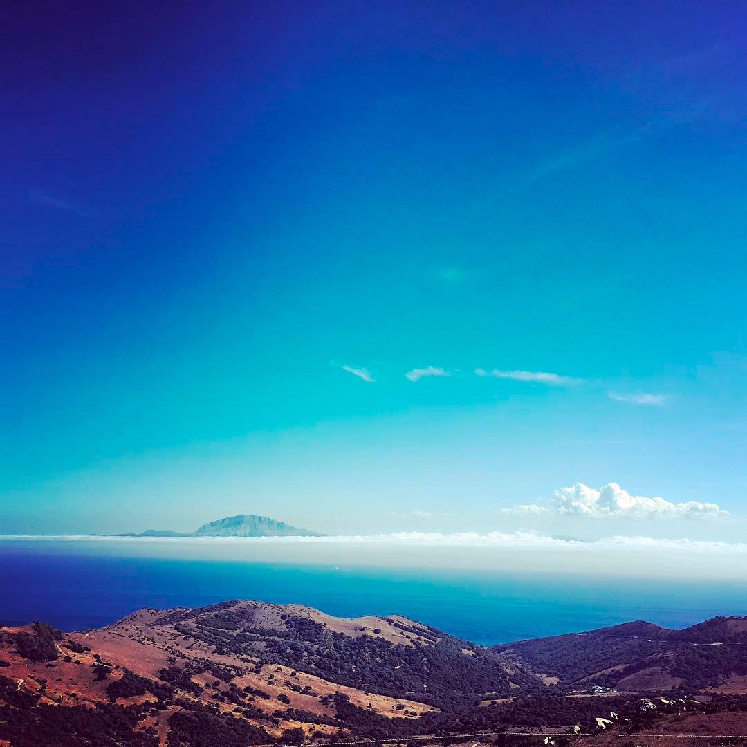
From Cañada you must continue on the path of Los Puertos, which runs between groves of oaks, carob trees, chestnut trees and mastic until it connects with the track of Gibraltar. When you reach a crossroads, you have to go toward Puerto de las Eras. Once you reach the top of the port you will arrive at the lookouts of Guadiaro and Africa, with privileged views of these mountains and the Strait of Gibraltar. Here, you’ll be in an area with high influx of raptors and you can enjoy a magnificent display if you decide to come in late summer.
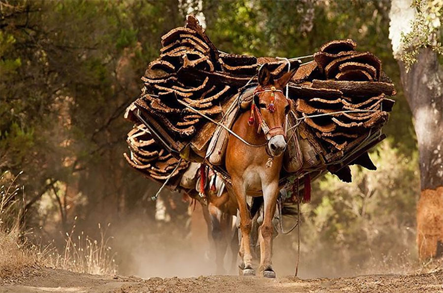 Mules carrying cork
It is possible that when you face the network of trails in this area of artisanal mining cork oak you won’t have a clear direction to follow. Do not worry: you’ll find several farmhouses and rural accommodation where you can request information or rest. They are a good choice if you decide to spend the night
 Arriving at Gaucín © Hotel Las Buitreras
In any case, all these tracks end in the A-369 road, which connects Gaucín with Benarrabá. If you plan to continue, in a few minutes you will arrive to one of these two beautiful villages of the province of Cádiz.
4. From Gaucín to La Sauceda: The Cathedral of Ravines
Get ready for a spectacular stretch. The day ahead of you is as demanding as it is rewarding. The best option is get up early and go on heading west, where you’ll find a lane that climbs to the hills of Montoro known as the Camino de la Claridad that will take you to El Colmenar.
 El Colmenar views © Hotel Las Buitreras
As you know, the best way to discover a natural area is to leave the roads and dive deeper into it. In the final part of this stage, you will enjoy a splendid forest of oaks, chestnut trees, carob trees, strawberry trees and holly trees. You’ll also meet one of the most important cork forests in the world, which gives the name to this Natural Park.
Another show of Los Alcornocales is the rhododendrons flowering, which is called here hornbeams, which are located in the most humid and sheltered areas of trees, those put a note of color every spring. When you go through these places you will understand why in the Middle Ages it was said that a squirrel could travel from Pyrenees to Gibraltar, without touching the ground.
When you reach a crossroads, take the turnoff on the left that takes you to the Huerta del Peso. Then take the road to El Colmenar. It is the perfect place for a stopover.
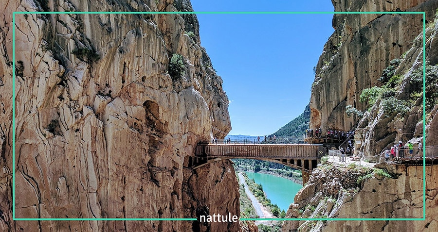
You can not leave El Colmenar without a visit to the place called Cañón de las Buitreras and the Puente de los Alemanes, nestled in a stunning gorge carved by the waters of the River Guadiaro. Reaching it has some difficulty and you will have to walk in some sections carrying your bicycle. The axis of this great, beautiful place, is a gorge over 100 meters deep. Some people called this area the Cathedral of the Ravines of Andalusia.
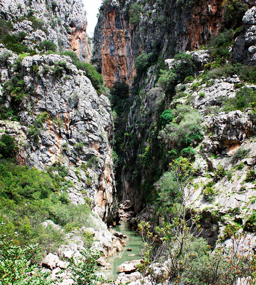 Cañón de las Buitreras © Hotel Las Buitreras
Back to El Colmenar, and before continuing to the Hozgarganta River, it is recommended that you get your supply of food for dinner and breakfast, because although in La Sauceda there is a small business, it is always better to be cautious.
The MA-512 road links to the town of El Robledal. A couple of kilometers away in Puerto Zarco, a path departs that winds for several kilometers between cork oaks and shady areas.
 La Sauceda track
In this mountainous area almost 950 meters of altitude are reached, so it would be best that you wear some warm clothes, because you may need it. From this point to the Hozgarganta River, the road is a continuous descent that will allow you to enjoy even more of this spectacular landscape and watercourse.
 La Sauceda village © Sergio Vera Trujillo
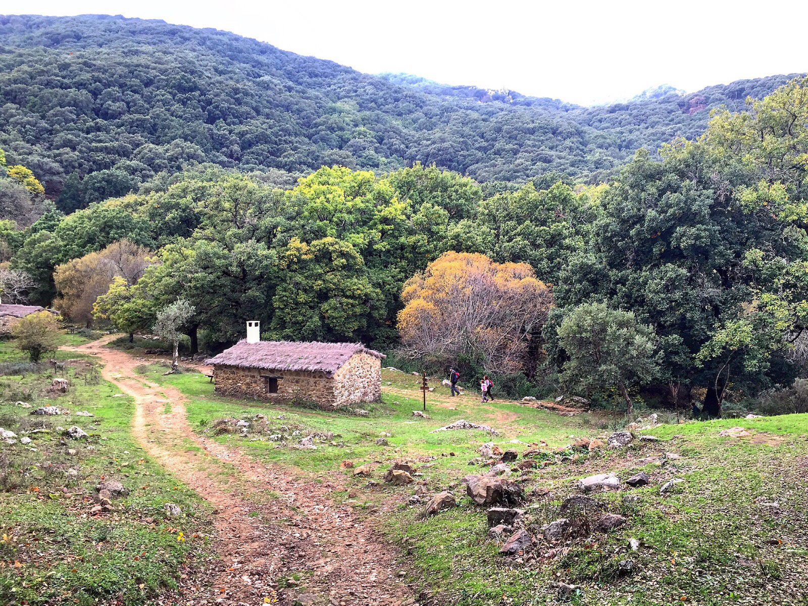
Finally, you will connect with the C-3331 road, once you cross the Pasadallana Gorge, it will take you to the small village of La Sauceda, abandoned after the Civil War. Today, converted into a recreational area, it is a perfect place to spend the night in some cozy stone cottages located in the heart of nature. You have to book in advance in the City Hall of Cortes de la Frontera.
5. From La Sauceda to Alcalá de los Gazules, the Last Andalusian Jungles
This is undoubtedly the toughest stage of all your mountain journey. The climb to the peak of Aljibe has some difficult moments and you have to go by foot and carry the bike, but once you reach the 1,090 meters of this peak, the effort will be rewarded.
To begin, you must go to the bike trail that will depart from the road right at the entrance of the recreation area. Once you get into these places, you will understand immediately that this is a special place of lush vegetation, as if they were taken from the northern latitudes.
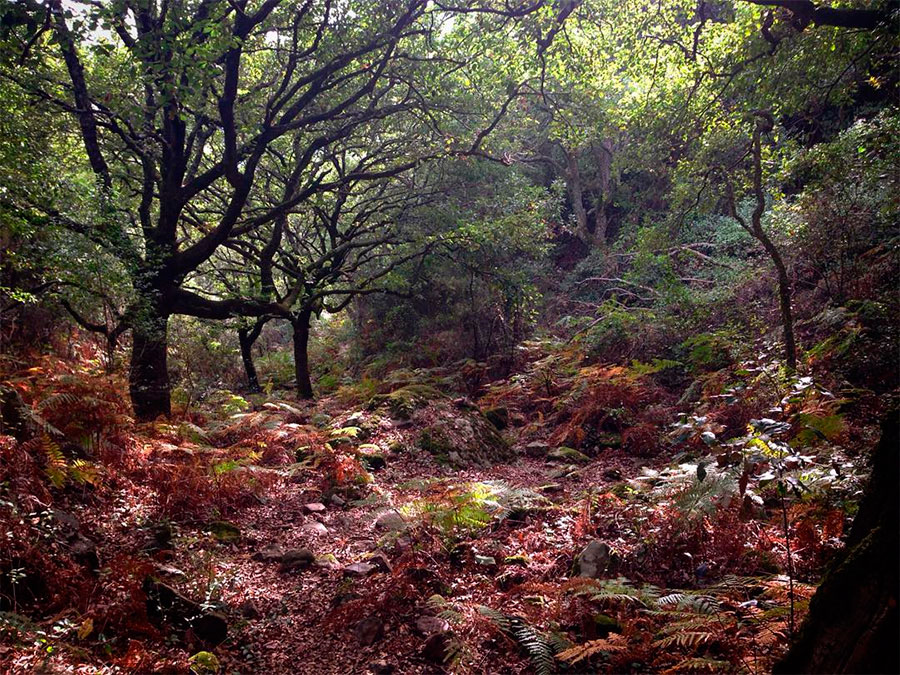
 The green covered trees © Luisdefran
You will be surprised with the upholstery of lichens, mosses, creepers and parasitic plants that cover the trees, many of them included in the catalog of Singular Trees and Groves of Andalusia. As you go up, you will perceive that the thick groves give way to areas stricken by the wind and with little vegetation. Near the peak of Aljibe, there is a promontory of rock that hides a place known as the Pileta de la Reina (Queen’s pool). It is said that there, that Queen Isabel, The Catholic, bathed while the Spanish armies took this area on their way to the city of Granada.
 Views from peak of Aljibe © Sergio Vera Trujillo
A few meters ahead you will find the geodesic point of Aljibe. If the weather allows it, you will enjoy incredible panoramic views of the Strait of Gibraltar, the Mediterranean and even North Africa. From here it begins a gradual descent through the spectacular gorge of Puerto Oscuro where you find small water courses trapped in narrow valleys and woodlands that form a gallery, typical of this Natural Park. These areas are the last fortresses of laurisilva peninsular, a botanical treasure of this area of Andalusia.
 Thicket of Los Alcornocales © Aitor
Finally, you will arrive at an area called Aula de la Naturaleza del Picacho, where you can stop. A few kilometers further is Alcalá de los Gazules, a beautiful village located on the west end of Los Alcornocales, a great location to spend the night.
6. From Alcalá de los Gazules to Valdevaqueros, Down to a Coastal Paradise
It is illogical to go through the province of Cádiz and not go and discover its beaches. You are just fifty kilometers away. So in this stage, change your mind and take a short detour that will take you to one of the best beaches in Andalusia: Valdevaqueros and Punta Paloma.
It is recommended to get up early, because you have to leave behind the peaks of the Natural Park’s mountains to reach the lowlands surrounding the coast. You must go towards the road that crosses Alcalá on its western part, the A-375 road. After leaving the town center, go to Los Santos chapel, located approximately 2 kilometers away. A track known as Padrón de las Torrecillas departs from there. It is a flat track that connects Benalup and surrounds the dam of Barbate.
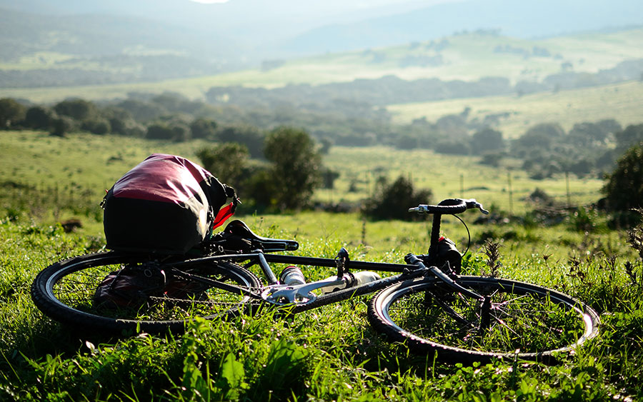 Stop along the way © Rubén
On your way to Benalup, you will cross meadows and farmlands scattered with wooded masses. Benalup is a small village full of history on each of its corners and one of the gateways to Sierra de Cádiz. From there you must go to the access of the Dos Bahías Greenway, which runs between pastures, crops and fields of wind turbines framed in the foothills of the mountains of the Blanquilla and Niño.
 On the way to Facinas © Pablo
This greenway will take you through the center of the region of Campo de Gibraltar, to reach the town of Facinas and from there to the mountains of Salaviciosa and Fates.
The climb is demanding, because in just 7 kilometers you will climb almost 550 meters. You can cool off at the Chorrito fountain before resuming the walk and admire the views of the Moroccan coast: they are spectacular. Also from these strategic watchtowers you will be able to contemplate, if the weather allows it, the display of migration bound for the African continent of large soaring birds and birds of prey. The most common to see are the stork, vulture, Egyptian vulture, the eagle, the honey buzzard and the short-toed eagle. Well worth a stop to entertain yourself with these air «performances».
 View of the African Coast © PabloGF
Once you reach the mountains, you will go down to the beaches of Valdevaqueros and Punta Paloma. The best reward for your efforts will be a dip in these beaches of fine sand and an immense horizon.
 Punta Paloma Beach access © PabloGF
Take a stroll during the late afternoon to enjoy the sunset and, why not, stop at any of the local bars there on the beach.
7. From Valdevaqueros to Algeciras: The Mediterranean´s Gates
In this final stage, only 50 kilometers separate you from Algeciras. Head from Valdevaqueros to the village of La Peña. Once there take the track leading to the CA-9210 road that takes you to Cañada de la Jara. You will have reentered in the Park of Los Alcornocales.
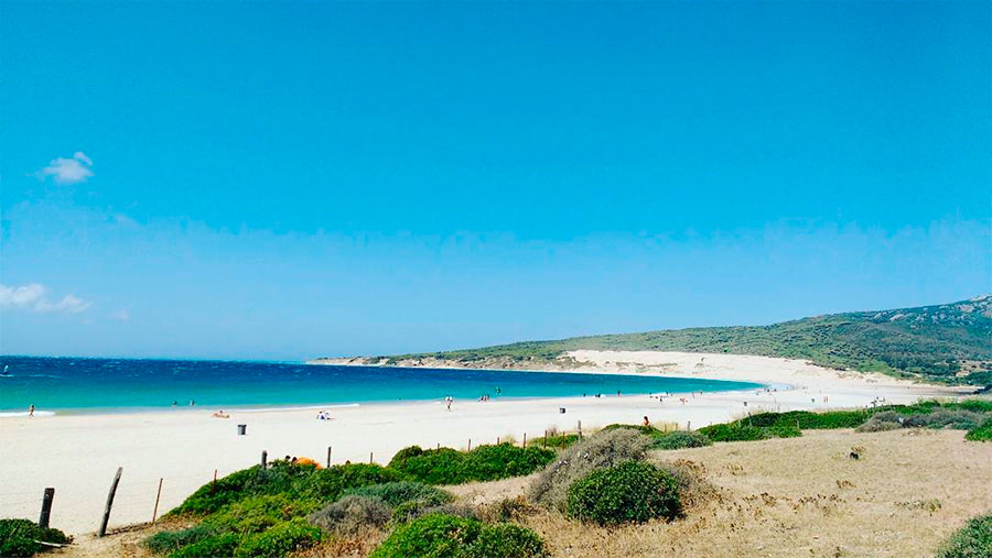 Valdevaqueros Beach © José David Expósito
This is a road with little vehicle traffic. The road climbs gently. Go pedaling by the CA-2215 road which detours off from the right to reach the village of Caheruelas, an almost unknown place to most people that hides a complex of dolmens which is over 5 millenniums old. Moreover, from this place you will see the embrace between the Mediterranean and the Atlantic.
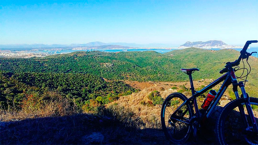 Last pedaling before arriving to Algeciras © Fonsy Delgado
About 10 kilometers away from the village you will find a tack that detours off to the left and reaches Algeciras, the end of this exciting adventure. This cosmopolitan seafaring city is a link between two continents and is the gateway to the Mediterranean.
[hr type=»line»]
Close your eyes and imagine that you got drafted to the Barcelona football team, or Obama asks you for advice. Now open your eyes, take your bike and head out for the Natural Parks of Cádiz. There, surrounded by forests, rocks and water, you will not need to pretend that you are important. Nature always makes man a protagonist.
[hr type=»line»]